
Australia’s weird weather baffling scientists
A climate watcher has said she is being “blown away” and “in shock” by Australia’s start to summer which is refusing to play by the rules.
A climate watcher has said that she is “in shock” at how hot Australia’s summer has been so far and it had “rewritten the rule book” on the effect of major meteorological climate drivers.
Monash University’s Ailie Gallant told news.com.au summer 2020 should have been comparatively mild due to the presence of La Nina.
Instead, last month was the hottest November Australia had ever seen.
Globally, one major climate body has declared November 2020 the hottest ever while the United Nations has predicted this year will be in the top three warmest on record.
“We’re having a strong La Nina. It should be cool, but it’s not.”
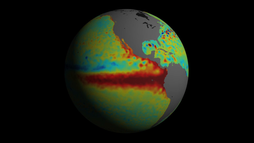
A La Nina climate event was declared by the Bureau of Meteorology (BOM) in late September. The cooling phase of the El Nino Southern Oscillation (ENSO), a La Nina bubbles up when strong winds blow from east to west which drags cooler water up from the depths of the ocean in the central and eastern equatorial Pacific.
These winds then push warmer water off the coast of Australia closer to the continent which can bring more moisture. Increased moisture can often lead to cooler conditions.

El Nino (Source: NASA)
Being the strongest La Nina for a decade it was expected to take the edge of this summer. But November, at least, has broken heat records than in some areas have stood from more than a century.
“It’s particularly astonishing for Australia. November has been unprecedented and it’s rewritten what we think we know about how the climate works in some ways,” Dr Gallant a climate scientist with Monash’s School of Earth, Atmosphere and Environment said.
“We’ve actually had a fairly wet winter and usually when that happens it stops us from getting really excessive temperatures, but hasn’t happened this year.”
Dr Gallant said La Nina’s effects should be in full force right now. Yet late last month Sydney surpassed 40C while Perth is expected to break the 40C barrier on Tuesday afternoon during a scorching heat spike.
“Typically late spring and early summer is when we have the strongest signal for La Nina episodes. They typically should be cooler than the years around them so to have the hottest November on the record, well I’m blown away by the whole situation. I’m actually in shock.
“This is climate change; this is what we are living through now”.
Another climate driver, the Madden-Julien Oscillation has helped exacerbate the heat by dragging moisture away from the Australian mainland.
Dr Gallant said the patch of ocean most affected by La Nina, deep in the Pacific Ocean, was about the only area of water cooler than usual.
“The ocean is a heat sink and at the moment it’s venting a huge amount of heat.
“It holds onto that heat but when you have warm ocean temperatures you tend to get warmer temperatures over land as well.”
Data released on Monday from the European Union’s Copernicus Climate Change Service stated November’s record heat had been felt most keenly across much of Europe, the Arctic, USA, Latin America and Australia.
In contrast, western Antarctica and central Asia had seen temperatures below average.
Dr Gallant said that was mostly due to Antarctica coming out of winter.
Despite the heat, the BOM has stuck to its guns that it will be a wetter than average summer for Australia.
In its latest climate outlook, the organisation said there was 75 per cent chance for north Western Australia, eastern Queensland and the New South Wales coast to see more moisture up until February and a more than 60 per cent chance elsewhere.
It may end up being cooler in north western and southern WA, inland Queensland and the Northern Territory and the NSW coast.
But days could be warmer in coastal Queensland and the WA coast as well as Victoria and Tasmania.
“Time will tell what December brings but if it’s also warm we could be on par with the hottest years on record,” said Dr Gallant.
The World Meteorological Organisation (WMO), part of the UN, last week said it expected 2020 to be one of the three hottest years since its records began. Its data goes back to 1850.
“2020 has, unfortunately, been yet another extraordinary year for our climate,” said WMO secretary-general Professor Petteri Taalas.
“The average global temperature in 2020 is set to be about 1.2C above the pre-industrial (1850-1900) levels.” he said.
It would see 2020 trailing only 2016 and 2019 in the hottest year’s stakes.
Dr Gallant said the closeness of those years was a worry.
“You expect temperatures to go up and down from year to year and one decade might be warmer than another but the hottest six years on record have been the last six years and that is crazy.”
Originally published by news.com.au, 8 December 2020.