Murray-Darling Basin rivers in dramatic response to climate extremes

Across the Murray-Darling Basin, surface water and flooding dynamics are dramatically impacted by drought and wet extremes, a recent study has found.
Mirela Tulbure and her colleagues at the Geospatial Analysis for Environmental Change lab mapped surface water continuously through seasons and years over three decades in the Basin, a large (>1 million km2) semi-arid basin that experiences extreme hydroclimatic variability and competing water demands. To do this, the team used the seasonally continuous Landsat TM and ETM + archives and generic random forest-based models; an ensemble classifier, necessary when mapping targets with high spectral variability, such as floods.
According to the researchers, “the combination of higher spatial resolution and using the entire Landsat archive allowed us to quantify changes in surface water and flooding dynamics between 1986 and 2011 with unprecedented detail.”
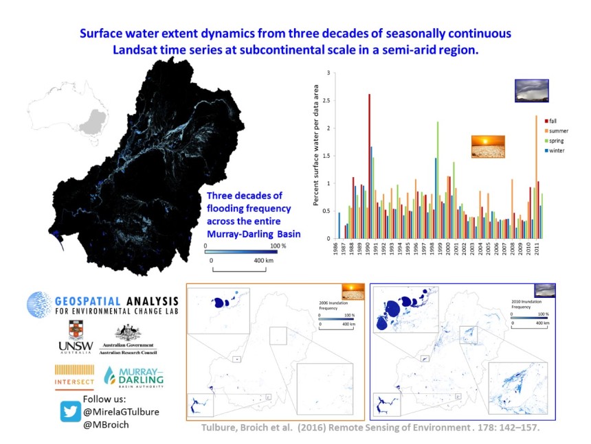
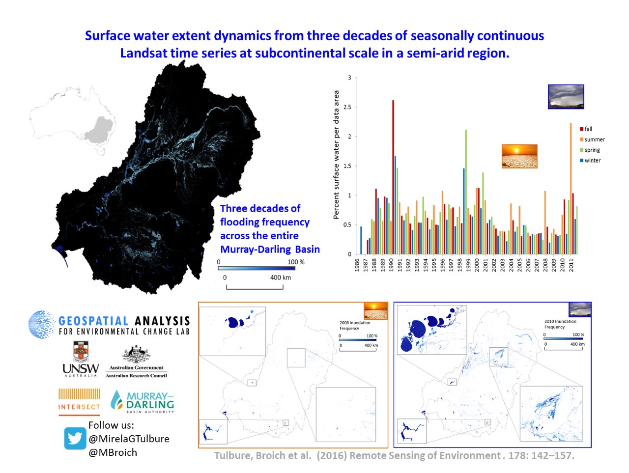
Results revealed dramatic impacts of drought and wet extremes on surface water, with high inter- and intra-annual variability across time and low surface water/flooded area across the basin during the ‘Millennium Drought’, the most severe drought on record in southeastern Australia (1999–2009), followed by massive floods in 2010-11 (Figure below).
Validation of the surface water and flooding time series was done using a statistically rigorous accuracy assessment.
“The accuracy of surface water mapping was high and acceptable over time in wet and dry years. Providing an unbiased estimate of the accuracy of our product and quantifying the uncertainty of the estimate are imperative steps needed when remotely sensed products are used for follow on applications”, say the researchers.
Ongoing applications of the data product with practical implications include:
- Quantifying vegetation response to flooding – a potential way of assessing whether environmental flows have the desired impacts – including river red gum communities, an iconic riparian eucalyptus species that has suffered die-back.
- Spatiotemporal connectivity, which can identify priority areas for conservation in surface water networks such as connectivity ‘hubs’ or ‘stepping-stones’ (see a previous news story here).
- Quantification of drivers of surface water extent dynamics, which will help us tease out what drivers are more important in explaining variability in surface water in space and time.
This work adds to the growing body of remote sensing research aimed at understanding the hydrological processes occurring in the Basin and, according to researchers, “the approach presented here can be further developed for global application and is relevant to areas with competing water demands.”
Article: ‘Surface water extent dynamics from three decades of seasonally continuous Landsat time series at subcontinental scale in a semi-arid region’, Remote Sensing of Environment, doi:10.1016/j.rse.2016.02.034

