
Two types of La Niña and only one brings rain
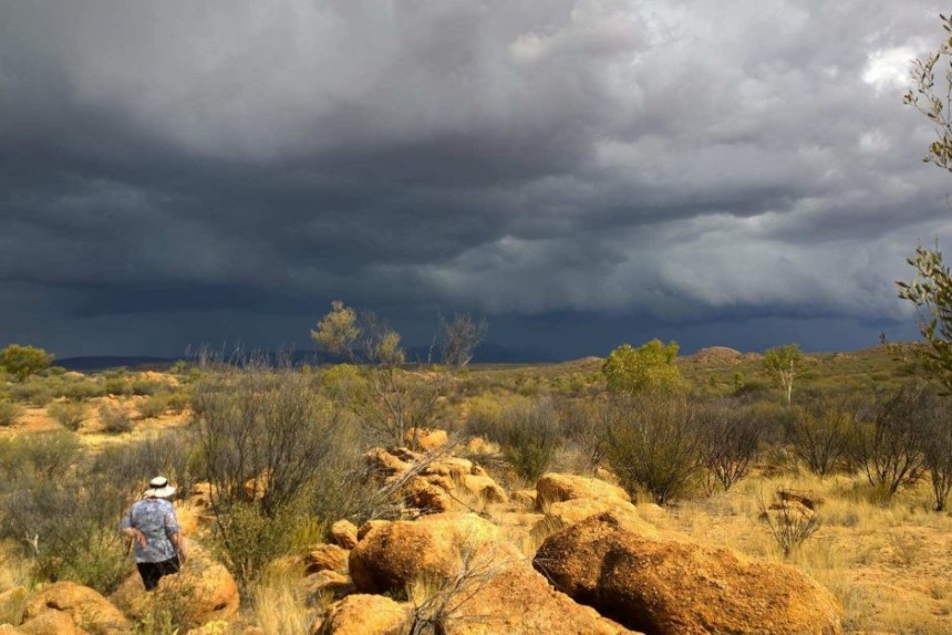
While Australia often gets less rain during El Niño conditions, the effect of La Niña conditions is less clear cut. New research has found why.
The El Niño Southern Oscillation (ENSO) is the strongest ocean-atmospheric coupled mode over the tropical Pacific Ocean, causing an inter-annual oscillation in the climate system between El Niño – bringing warmer water to the surface – and La Niña – bringing cooler water. This oscillation affects weather world-wide and is a strong influence on Australia’s rainfall, with La Niñas sometimes but not always leading to increased rainfall. A new study by a Chinese team of scientists led by Linye Song explains why. They show that La Niña events can be separated into two broad categories: a Central Pacific (CP) and an Eastern Pacific (EP) type. It appears that Australian summer rainfall is only significantly impacted by CP La Niña events.
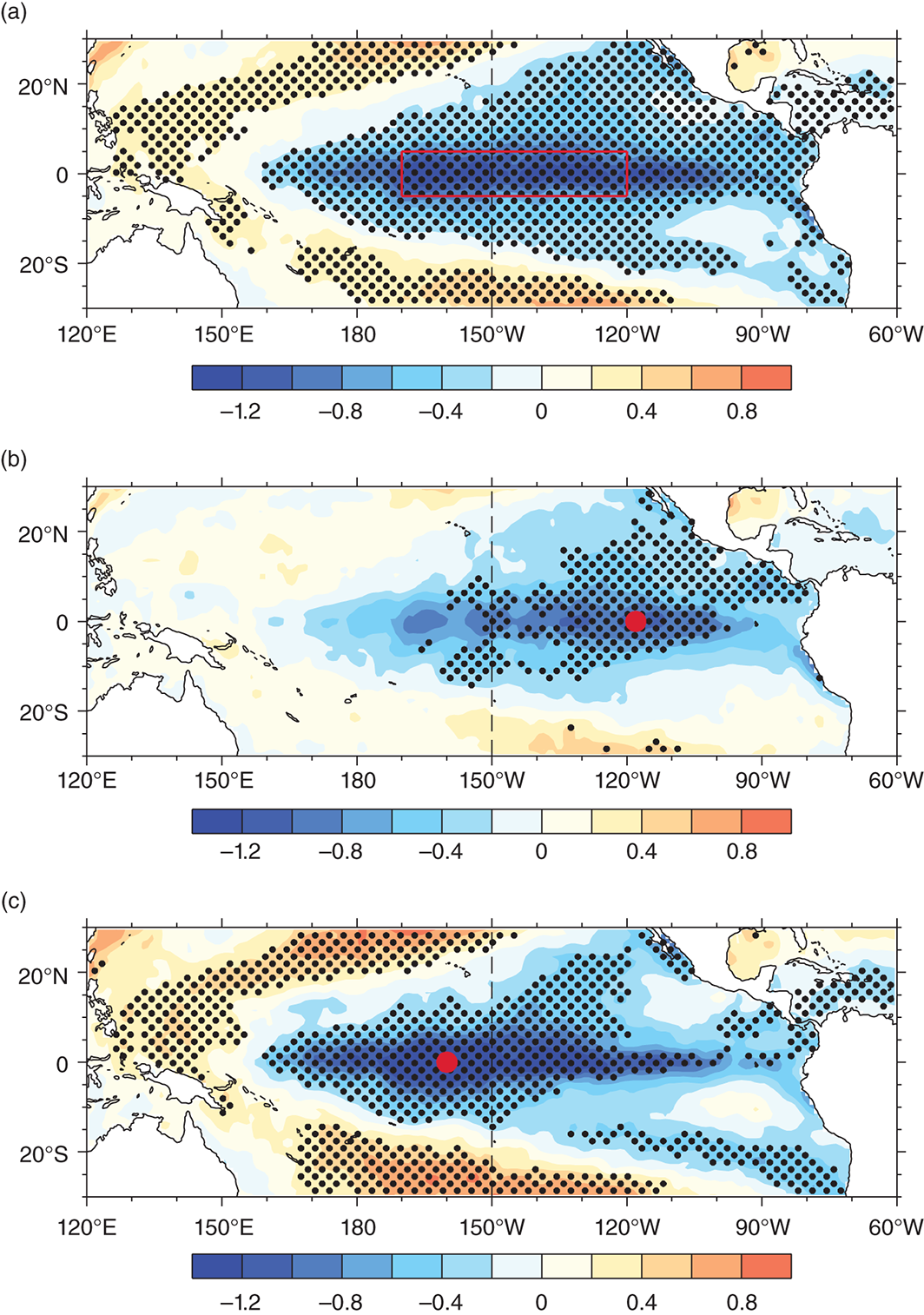
Composites of SST anomalies (°C) in the tropical Pacific during DJF for (a) all La Niña, (b) EP La Niña and (c) CP La Niña.
“Previous studies generally demonstrated that rainfall in Australia tends to be below normal during El Niño events and above average during La Niña events,” explains Dr Shangfeng Chen of the China Meteorological Administration.
“Recently, a new type of El Niño event called the central Pacific El Niño, El Niño Modoki or date-line El Niño received extensive attention, because its SST anomaly pattern and global climate impacts are significantly different from the traditional El Niño event. However, whether the austral summer rainfall over Australia is differently impacted by different types of La Niña events was still unknown.”
In their work, the researchers show that Australian summer rainfall anomalies related to EP La Niña are significantly different from those associated with CP La Niña. Their studies found that during CP La Niña, maximum cold SST anomalies are located in the equatorial central Pacific west of 150oW (panel c in the figure), and significant northeasterly wind anomalies tend to prevail over northeastern Australia during austral summer. This brings more moist and warm flow from the tropics to Australia and leads to significant positive rainfall anomalies over northern and eastern Australia. In contrast, during EP La Niña, maximum cold SST anomalies are confined to the equatorial eastern Pacific east of 150oW and atmospheric circulation anomalies tend to be weak. As a result, rainfall anomalies are generally weak over Australia in EP La Niña.
The differences in the Australian summer rainfall anomalies between CP and EP La Niña are attributed to the differences in atmospheric circulation anomalies. Specifically, the atmospheric circulation anomalies over the tropical Pacific tend to be stronger and located more westward during CP La Niña events.
“Higher climatological SST and a larger magnitude and westward shift of the cold SST anomaly center during CP La Niña may explain stronger and westward shift of the atmospheric anomalies compared to EP La Niña,” explains Dr Chen.” Atmospheric model numerical experiments confirm the contribution of stronger circulation response in CP La Niña to the positive rainfall anomalies in Australia.”
Their findings suggest it is important to classify La Niña events into different types when predicting Australian summer rainfall.
Article: ‘Distinct Impacts of Two Types of La Niña events on Australian Summer Rainfall’, Linye Song, Shangfeng Chen, Wen Chen and Xioalong Chen, International Journal of Climatology. doi: 10.1002/joc.4863. in press.