
Mapping groundwater-dependent ecosystems
The Groundwater Dependent Ecosystems Atlas (GDE Atlas) now includes new regional-scale mapping for parts of New South Wales, Northern Territory, Queensland, South Australia and Victoria.
The web application also has a fresh look with new functionality including powerful searches and new contextual map layers such as groundwater management areas.
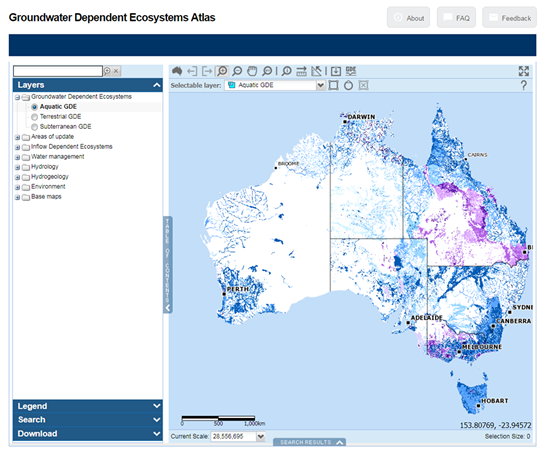
Groundwater Dependent Ecosystems Atlas showing the aquatic GDE layer.
The atlas is an inventory of mapped GDEs in Australia, and is publicly available through a web mapping application. First released in 2012, the update was recently released at the Australasian Groundwater Conference in Sydney.
By making this data easily available, the GDE Atlas facilitates consideration of groundwater-dependent ecosystems—including their location and particular features—in natural resource management, planning and environmental impact assessments.
The updated GDE Atlas is now available from the Bureau’s Groundwater Information Suite, which also includes the updated National Groundwater Information System and Australian Groundwater Explorer
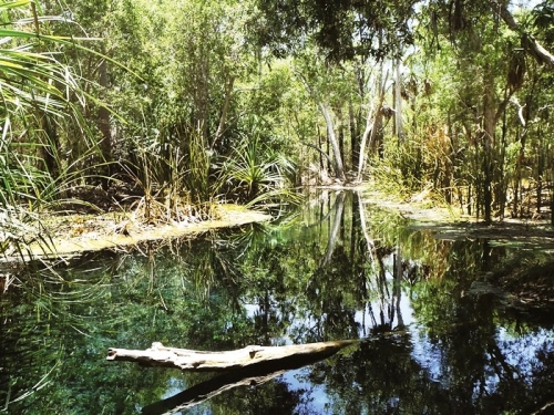
Photo: Bitter Springs, Northern Territory—a groundwater-dependent ecosystem. Source: Merryn Coutts, Bureau of Meteorology
Original article posted on enGauge, October 2017 (link)