
New website showcases data on Australia’s environment
 NCI’s data and compute expertise have played an integral role in a recently launched website that provides easy access to a wide range of environmental data covering the entire country. The data, available on the Australia’s Environment in 2015 website through The Australian National University, covers measurements from precipitation and river flows to tree cover and bushfire intensity.
Professor Albert Van Dijk says that this website could be a useful tool for many different organisations. He says, “There’s a number of processes that use this kind of information: Commonwealth agencies working at a national scale, people interested in local government areas, parks or wetlands, and NGOs. We’re trying to show that the information is there and displaying it so that people find it easier to interact with.”
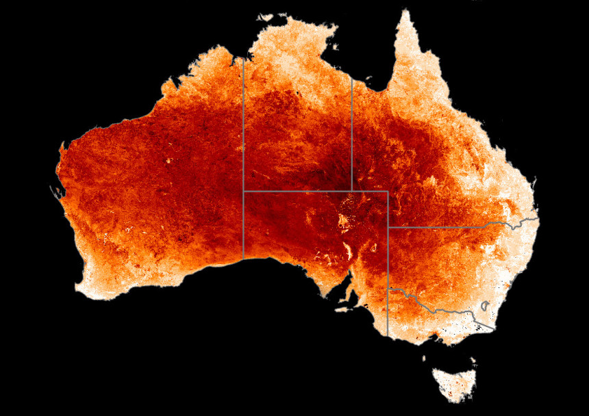
The website can overlay data from several different satellites on top of a map of Australia, showing variability across the country and how that has changed over the past 16 years. At the start of every year, the previous year’s data will be added to the site, providing up to date coverage of key environmental variables.
“All the maps you see are hosted on the NCI web mapping service,” says Professor Van Dijk, “The NCI is quite central to it all, and the data served up by NCI is a great opportunity for small groups like mine to use the facilities.”
Calculations to produce the data required for the website were done on NCI’s supercomputing infrastructure, all of which is now stored in NCI’s large geoscience data collections. By combining many different sources of data, the website can be used for a wide variety of nationally significant projects such as the State of the Environment Report and the National Carbon Accounting System.
Professor Van Dijk is now planning to display bushfire risk and fuel moisture content in a similar way. The idea is to use the system that has just been built for a variety of different projects. He says, “This has been a big investment for us, but now we can repurpose it for new things. And I think the next cab off the rank will be around bushfire risk.”
Click here to see the ANU Water and Landscape Dynamics data collection stored at NCI.