
Soil Water Estimation and Evaluation Project (SWEEP)
by Luigi Renzullo, OzEWEX
A new OzEWEX project will evaluate the soil moisture products against ground-based measurements across of variety of landscapes. This will aid in assessing estimation method performance, identifying when and where one approach is better than another, and help lead to improvements in estimation (Figure 1).

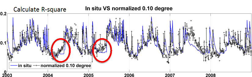
Figure 1. SWEEP will evaluate soil moisture products against ground measurements to understand product performance with the aim of refining estimation methods.
At a recent soil moisture workshop, Drs Yi Liu (UNSW) and Luigi Renzullo (CSIRO) delivered a joint presentation on the new initiative, titled the “Soil Water Estimation and Evaluation Project” (SWEEP). The idea for SWEEP has its genesis in the OzEWEX Data Assimilation Working Group where a soil moisture data assimilation methods inter-comparison experiment was proposed at the working group kick-off meeting in Feb 2013.
More recently) the focus of the investigation moved focus from ‘methods comparison’ towards ‘product evaluation’, spurred by research in the Bushfire and Natural Hazards CRC into the suitability of the variety of available soil moisture products for bush fire risk assessment and grassland curing.
SWEEP will be coordinated by members of the Model Evaluation & Benchmarking and Data Assimilation working groups, however participation is encouraged by the full OzEWEX and wider community.
Specific details of the scope of SWEEP are still under development, and OzEWEX community input is welcome (see contact details below). To date the tasks may be summarised as:
- Collate soil moisture products and observations, and provide access to SWEEP participants.
- Evaluate products against in situ (probe), proximal (cosmos and airborne) and independent satellite soil moisture data
- Publish results with multiple OzEWEX coauthors.
It is envisaged that the data collated as part of SWEEP will become an OzEWEX and eventually wider research community resource. Data ownership, of course, remains with the custodian and the rules for data use and sharing is likely to be modelled on previous community endeavors (e.g. FLUXNET). Products include satellite moisture products (Figure 2), modelled estimates of near surface and root-zone soil moisture (derived with or without the assimilation of satellite soil moisture data). The data will be on the National Computing Infrastructure to facilitate collaboration across institutions.

Figure 2. Some of the satellite soil moisture products available as part SWEEP on the NCI.
To participate or get more information contact Luigi Renzullo (luigi.renzullo@csiro.au) or Albert van Dijk.