Exciting PhD opportunity: New technology to monitor fire risk on Defence Lands

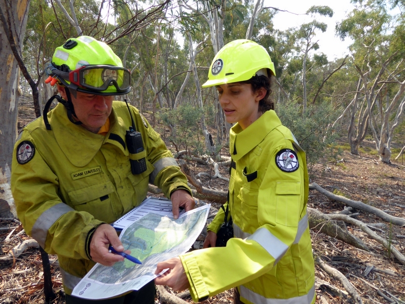
The Fenner School of Environment and Society at the Australian National University is seeking applications from highly motivated and qualified candidates who are Australian or New Zealand citizens or permanent residents of Australia for a 3-year PhD program of research commencing early 2017 that will investigate the potential of remote sensing data from various sources for fire risk monitoring in Defence Lands. As part of this research, the successful candidate will use satellite remote sensing, ground-based methodologies, and cameras as well as ground vehicle-based or UAV mounted sensor arrays to develop innovative ways to monitor key fuel properties determining fire risk (e.g. fuel moisture content, fuel structure and fuel load).
The position is based in Canberra; is in collaboration with the Defence Department and the Bushfire and Natural Hazard Cooperative Research Centre; and will require field work in the Australian Capital Territory and potentially other states and territories.
Academic supervision for the PhD Student would be provided by Dr. Marta Yebra, Prof. Albert van Dijk and A/Prof Geoffrey Cary of the Fenner School of Environment and Society with co-supervision from Dr. Frederick Ford from the Defence Department.
 Background: Remote sensing techniques for fire risk assessment have progressed rapidly in recent years. These offer the potential for Defence land managers to access broad-area information that underpins key decisions for fuel management and conduct of training activities with potential to start bushfires. This approach is particularly useful for remote areas and restricted access areas used by Defence. However, remote sensing data may not provide Defence managers with ready access to all necessary up to date data or the necessary spatial or temporal resolution, and alternative ground-based techniques such as fuel depth gauges or automatic cameras may still provide a more immediate method for managers to assess fuel condition. In this PhD project, the real and ongoing cost of providing fuel-related fire risk information must be assessed against the suitability of the data for its intended audience, and its potential common good value.
Selection criteria: Applicants should: (1) possess a relevant Bachelor’s degree with first-class honours, or a research Master’s degree from a recognised university, in a relevant discipline; (2) demonstrate experience in analysing remote sensing data and/or managing GIS projects; (3) possess sound written and verbal communication skills; (4) have fieldwork experience and be willing to travel independently. Fluency in computer programming and relevant professional experience in bushfire management will be viewed favourable.
PhD scholarship: The successful candidate will be assisted in applying for an ANU PhD stipend scholarship (AUD 26,288 per annum tax free (2016 rate)) and if successful in that application, will receive: (1) a top-up scholarship stipend of AUD 10,000 per annum and (2) substantial additional operational funding for project field work, data collection, travel and conference attendance.
That is, awarding of the top-up scholarship and additional operating funding above is contingent on the chosen candidate securing an ANU PhD scholarship for commencement in early 2017.
How to apply: Applicants must submit a CV, all transcripts, a maximum of two pages addressing the selection criteria and details on two referees to Dr. Marta Yebra (marta.yebra@anu.edu.au) by September 30th, 2016. Please do NOT apply online to ANU until contacted.
