
The 2020 Australian Climate and Water Summer Institute
From 3-14 February 2020, the 2020 Australian Climate and Water Summer Institute took place at the Australian National University (ANU). The unique two-week event brought together 17 of the most talented early-career professionals, researchers and PhD students from Australia and New Zealand, to further develop their knowledge and skills to use, analyse and produce climate and water applications, with a particular focus on the increasingly extreme climate events that have faced Australia.
From droughts to floods, from fire to fish kills: managing increasingly extreme climate events and water scarcity are among Australia’s most pressing challenges. Interpreting past trends, monitoring current conditions, and predicting future developments all provide insights to help make difficult decisions. With the current rapid rate of development in observation and analytical technologies, new opportunities to create insight arise every day, through data analytics, sensor networks, satellite remote sensing, machine learning and simulation modelling. However, the rapid pace of development can exceed the capacity of individuals and organisations to apply them. Agencies continually have to prioritise what new research and technology to adopt for maximum benefit. End users are continually challenged to incorporate that new information into their decision making – whether they are policymakers, water managers, emergency services, businesses or individuals.
The 2020 Australian Climate and Water Summer Institute was the fourth in a series of highly successful Summer Institutes organised by a consortium comprising The Australian National University, CSIRO, Bureau of Meteorology, Geoscience Australia, Murray-Darling Basin Authority and National Computational Infrastructure, in partnership with other universities and Commonwealth government agencies. The 17 participants selected had backgrounds varying from engineering, spatial science to earth and environment sciences.
For the first time this year, the Summer Institute was condensed into two weeks to make it easier for early-career professionals to attend. The event comprised a 7-day ‘boot camp’ and a 3-day hackathon. The boot camp combined tutorials, invited presentations, interactive discussion and excursions covering such topics as:
- What are information priorities in climate and water management?
- What are the roles of governments, industry and individuals in providing these?
- What climate and water data services exist, and how are they best interpreted?
- How can spatial data be combined and interpreted to provide actionable information?
- How are station and satellite measurements incorporated into weather and water models?
- What climate and water simulation tools exist, and how can they be used to inform decision-making?
- How can automation and High-Performance Computing (HPC) be used to scale analysis to large data sets?
The skills-based training focused on the use of Python on the National Computational Infrastructure’s HPC infrastructure, with tutorials in a Jupyter environment. In addition to general spatial data analysis and modelling skills, specific training was provided in accessing spatial, climate and water data services (e.g., Digital Earth Australia, Water Data Online) and in the use of the AWRA Community Modelling System.
The seven days of intense training were followed by a three-day Hackathon in which the fellows self-organized into small teams to develop projects. All themes had an emphasis on the use of large, grid-based data sets, modelling, modelling, high-performance computing and information technology. At the final day of the Climate and Water Summer Institute Symposium, the teams presented their research with many attended by their home supervisors and institution collaborators. The final projects were:
- Inferring higher frequency water observations from WOfs & MODIS – Rachel Blakers (NSW DPIE), Eliana Jorquera (Uni of Newcastle) (PDF)
- SuperSat – Jesse Greenslade (BoM), Nick Wright (WA DPI) (PDF)
- Impact of farm dams on the hydrology of local floodplains – Martin Job (MDBA), Katey Dugdale (GA)
- Using Himawari-8 observations to develop a proxy for convective rainfall – Declan O’Shea (Uni of Melbourne), Tony Rafter (Uni of Southern QLD), Rebecca McGirr (ANU), Amy Lennard (Horizons Regional Council, NZ) (PDF)
- AWRA soil moisture for loss models – James Nicholls (NSW DPIE), Hae Na (Hannah) Yoon (Uni of NSW)
- Bushfire impacts in 2020 – Meera Joyce (MDBA), Richard Taylor (GA), Ritta Duzzo Grohs (Uni of Newcastle) (PDF)

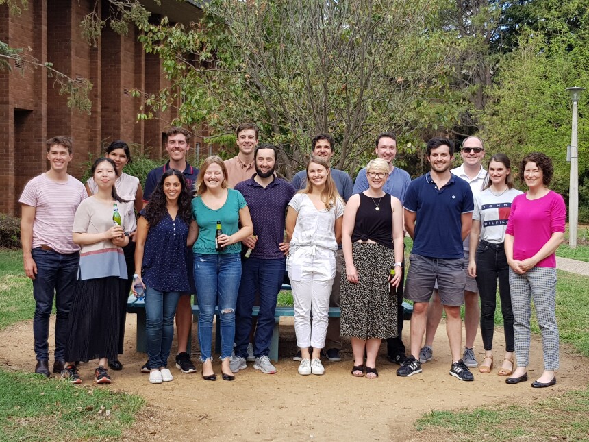
Participants celebrating the successful completion of the 2020 Australian Climate and Water Summer Institute
Acknowledgements
The 2020 OzEWEX Summer Institute would not have been possible without the generous support from the consortium partners and participation by their staff members: Bureau of Meteorology, CSIRO Land and Water, Geoscience Australia, Murray-Darling Basin Authority, Australian National University, and National Computational Infrastructure.