Murray-Darling Basin Authority accused of cover-up

The Murray-Darling Basin Authority omitted evidence from a report on satellite monitoring technology that apparently showed water bought by taxpayers for environment purposes was being sucked up by a downstream irrigator, a former senior staffer said.
The discovery of the diversion of water in the first half of 2016 was “by accident”, as the authority was testing Data Cube remote sensing developed by Geoscience Australia, said Maryanne Slattery, a former director of environmental water policy at the authority.
The release involved about 9 billion litres let out by the Commonwealth Environmental Water Holder, with the area of interest from the satellite imagery centred between Boorooma, where the Macquarie River flows into the Barwon, and the town of Brewarrina.

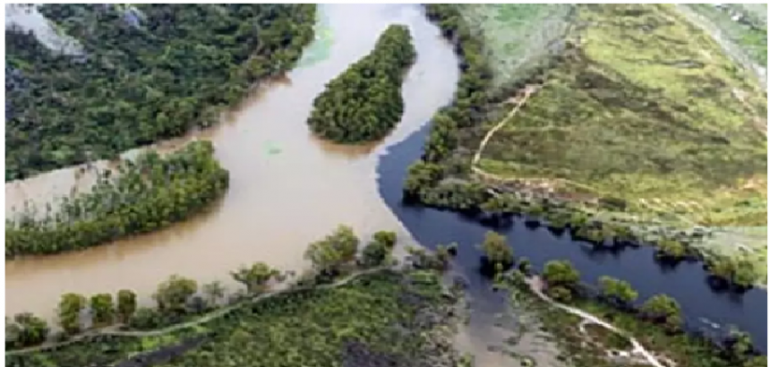
Water flowing down from the full Menindee Lakes, into the Darling River and then into the Anabranch irrigation river, which then joins back on to the Darling River, just before Wentworth. Photo: Quentin Jones
“Almost immediately, it became clear it was being extracted as soon as it got into the Barwon-Darling,” Ms Slattery told Fairfax Media. “We had multiple lines of evidence that suggested the water was being taken.”
It was also during an “embargo” when low flows limited extraction rights.
However, the final report on the satellite pilot – finished in April 2017 and made public two months later – covered a shorter period and a more narrow geographical range than Ms Slattery’s work. The report also used poorer quality imagery than was available.
“I was told [senior management] wanted to shut the whole thing down,” said Ms Slattery, now a senior water policy researcher at The Australia Institute.

Maryanne Slattery, a former Murray-Darling Basin Authority staffer, says satellite imagery pointing to possible water theft was ignored. Photo: Dion Georgopoulos
The comments come during a week when the Senate voted in support of a Greens-led motion to block modifications to the $13 billion Murray-Darling Basin Plan.
The amendment would have reduced the amount of water savings intended for the environment for the northern basin – including the region where the satellite imagery was collected – by 70 billion litres a year to 320 billion litres.
The authority told Fairfax Media it had begun testing the Data Cube in March 2016 to see if it could be used to track water flow.
“The original draft report from this work made quite a few assumptions,” a spokeswoman said.
“The report went through a peer-review process internally, as do all MDBA technical reports,” she said. “The peer review found that the technology was promising but more was required to turn the information into evidence of any illegal actions.”
Ms Slattery, who left the authority in August 2016 to join the Commonwealth Environmental Water Holder, dismissed the response as “complete crap”, adding “they don’t use a ‘peer-review process’ in a way anyone else does”.
Quentin Grafton, a professor specialising in water policy at the Australian National University, said the apparent downplaying of satellite monitoring underscored the poor understanding of water use in the basin.
He pointed to an authority report from last November that noted as little as 25 per cent of the northern basin’s water use is monitored, compared with 96 per cent in South Australia.
“If you can’t get the basics right, don’t expect to get anything else right,” said Professor Grafton, adding that modelling used by the authority was by extension also suspect.
The original National Water Plan for Water Security, launched in 2007 by then Prime Minister John Howard earmarked $417.2 million to improve water information.
“Where did that money go, who got it, and why is that up to 75 per cent of the northern basin is still not metered,” Professor Grafton said.
Original article posted in The Age, 16 February 2018 (link)
