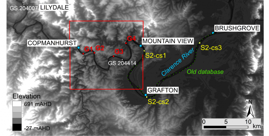
Remote sensing to better represent river geometry in flood forecast models

Floods are among the most frequent and destructive natural disasters. An accurate and reliable flood forecast system which should model runoff generation, runoff concentration, streamflow propagation and floodplain inundation, can provide vital information for land management and emergency […]
Read more