AWRA-L Community Modelling System released, hands-on training available

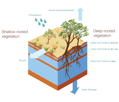
The Australian Water Resource Assessment Landscape (AWRA-L) Model is a 0.05° (approximately 5 km) gridded daily water balance model developed by CSIRO and the Bureau of Meteorology for Water Resource assessment purposes (see Hafeez et al., 2015; Viney et […]
Read more